Maxime Tarka
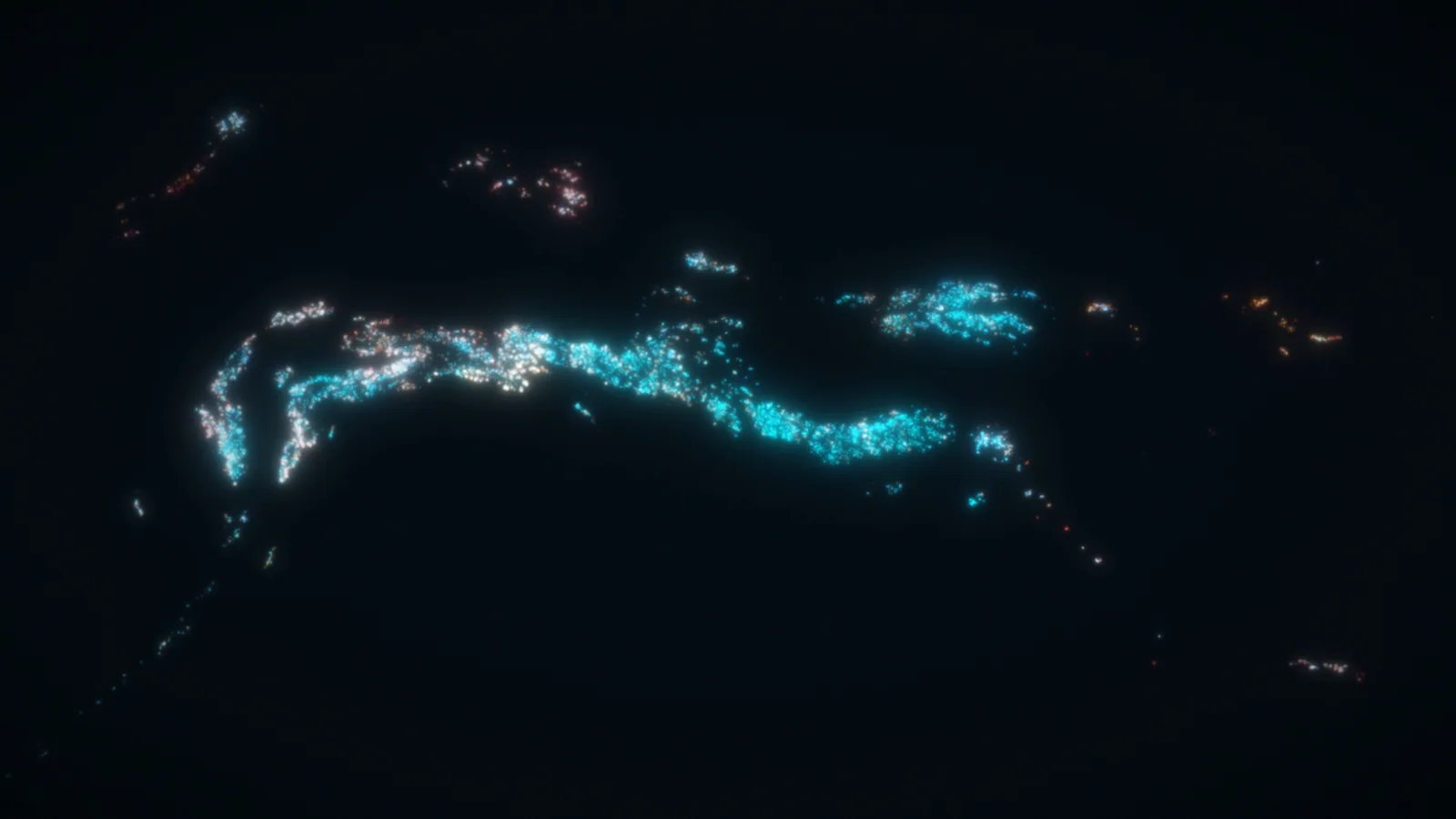
I am an engineer who likes environmental data and the science behind it. For my master’s thesis, I trained a deep-learning model on satellite images to follow the snow cover of 22,155 glaciers in western North America, every year from 1984 to 2025.
I am an engineer who works on environmental data, from the sensors in the field to the website. At Campus Sainte-Marthe I rebuilt a weather-station platform, and I train deep-learning models on satellite images.
 Available from February 2027, depending on where the job or PhD is. Open to relocation in Canada and Europe.
Key figures
Each figure points to where it comes from.
- 22,155
Glaciers followed year by year from 1984 to 2025, across Alaska, western Canada and the western United States.
Dataset on Zenodo - 786,014
Snow-fraction observations of one glacier in one year, built from five satellite sensors (Landsat 5, 7, 8, 9 and Sentinel-2).
Preprint on SSRN - 0.705
Test mIoU of the glacier U-Net, with a split by glacier. A split by scene scores higher on validation (0.777 against 0.762), but in that run the scenes of glaciers never seen in training score only 0.575, because 35.9% of glaciers were on both sides of the split.
Preprint on SSRN Code on GitHub - 8
Stations on the BVECSM weather-station platform, with about 7 million records back to December 2015. Researchers, students, the City of Sainte-Marthe and local farmers use the website.
Platform details Live site - 0.604
Test mIoU of the land-cover U-Net on unseen tiles, with a kappa of 0.749. The model was trained on 705 hand-annotated scenes.
Model on Hugging Face Code on GitHub
Selected work
A U-Net trained on 540 annotated scenes follows the snow of 22,155 glaciers from five satellite sensors. The code and the data are open.
A second manuscript uses the record to follow how each glacier responds over four decades. It finds distinct behaviours across western North America.
I rebuilt the platform end to end, from the data loggers in the field to the website. Old and new station data are merged into one history, and the website offers dashboards, data exploration, downloads and hydrological models.
A Python workflow that models wildlife habitat in British Columbia, with annual habitat-area trends for each management unit, fed by my own open-source land-cover pipeline. Confidential development for the company.
The glacier pipeline, a land-cover change-detection pipeline, the GlacierScope viewer, the MaskForge annotation tool and two Windows utilities for sensor and file data.
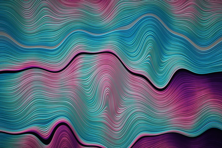
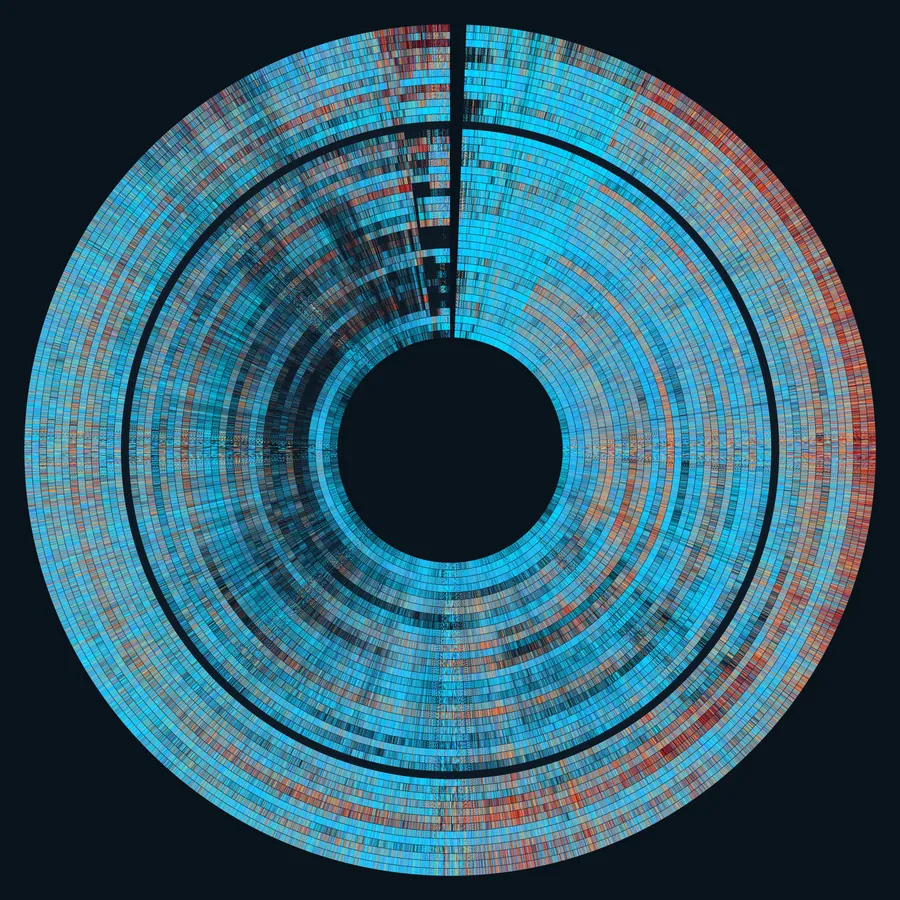
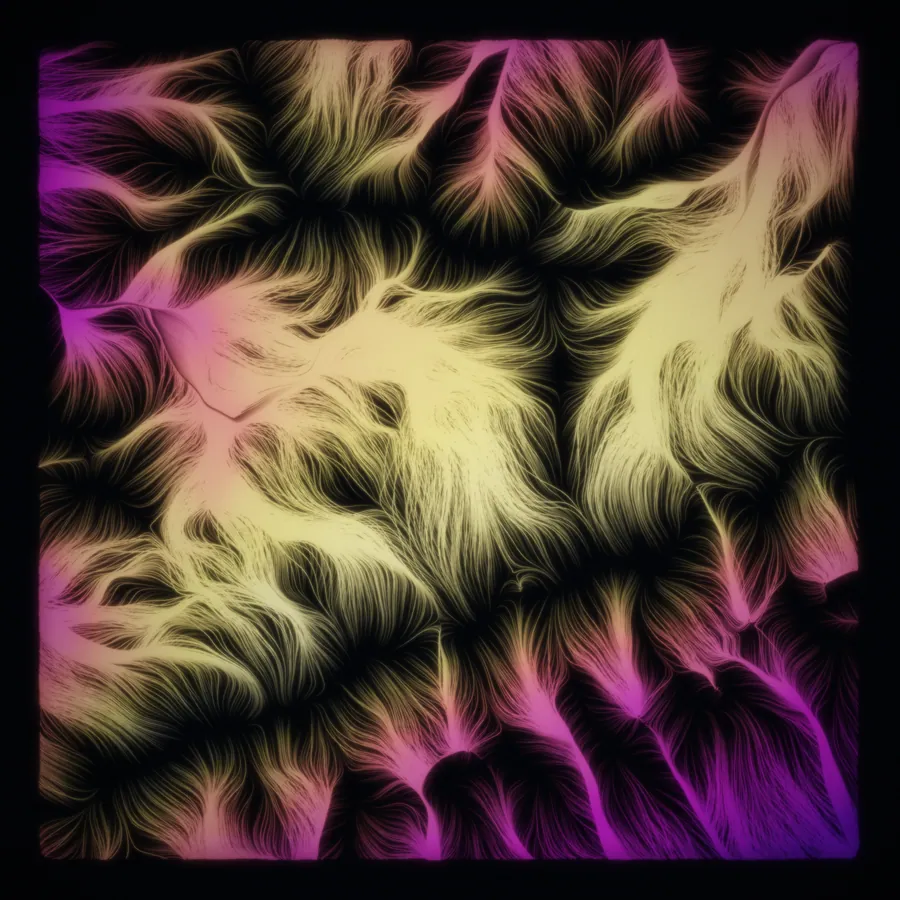
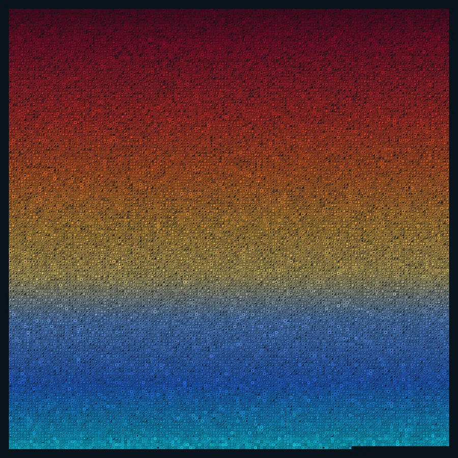
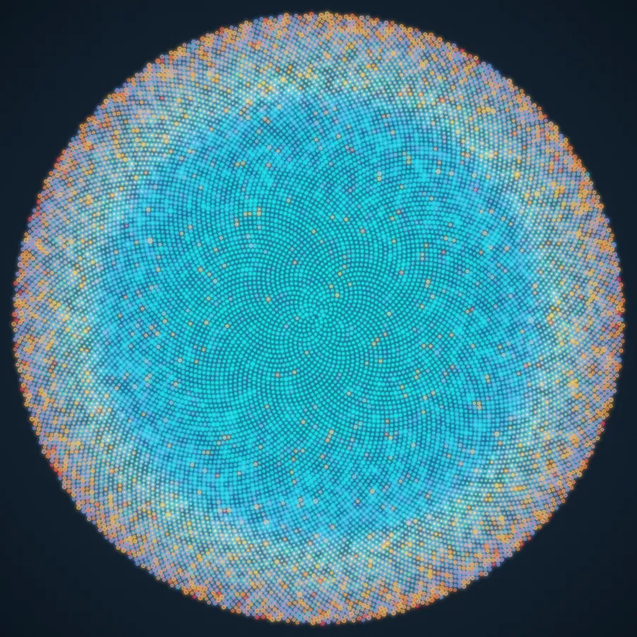
Images and animations with sound, all made from the glacier record.
Art made from the data
The same glacier record, turned into images and animations with sound. Every point, note and colour is a measured value.
Where I have worked
MacHydro
Geospatial analyst intern
Campus Sainte-Marthe
Developer
ÉTS
Graduate researcher, remote sensing and deep learning
Get in touch
For a PhD supervision, a research collaboration or an engineering role, write to me by email. I reply in English or French.